Labels for
Indian Satellite Imagery
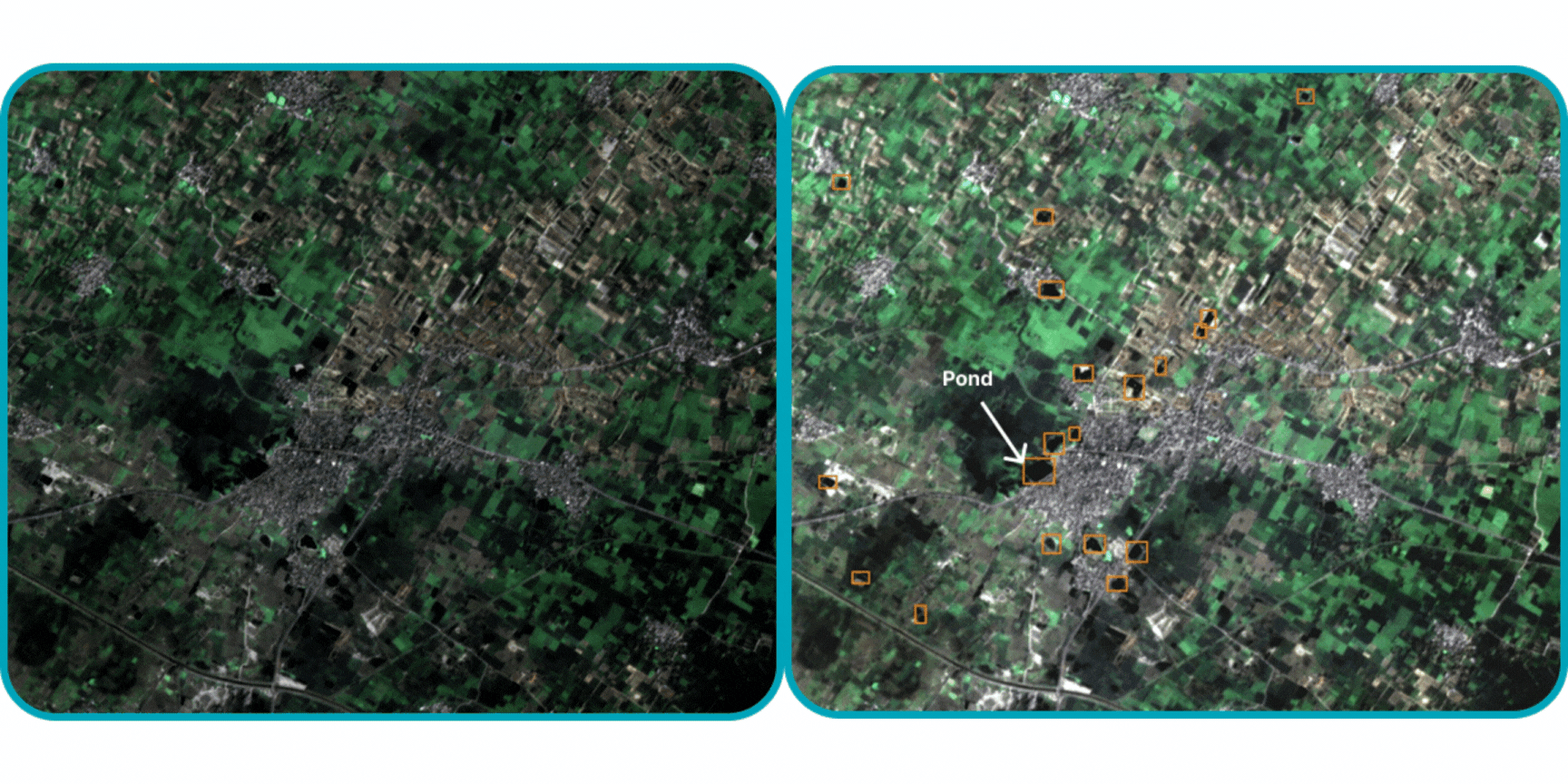
Empowering AI innovation with curated object detection labels for
LISS-IV, Sentinel-2 and Landsat 8 OLI
tailored for India’s unique landscapes and features.
3
Satellite Data Sources
10+
Classes
Innovating for a Better Tomorrow
Delivering quality and innovation across all domains.
Satellite Sources We Use !
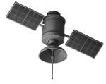
LISS-IV
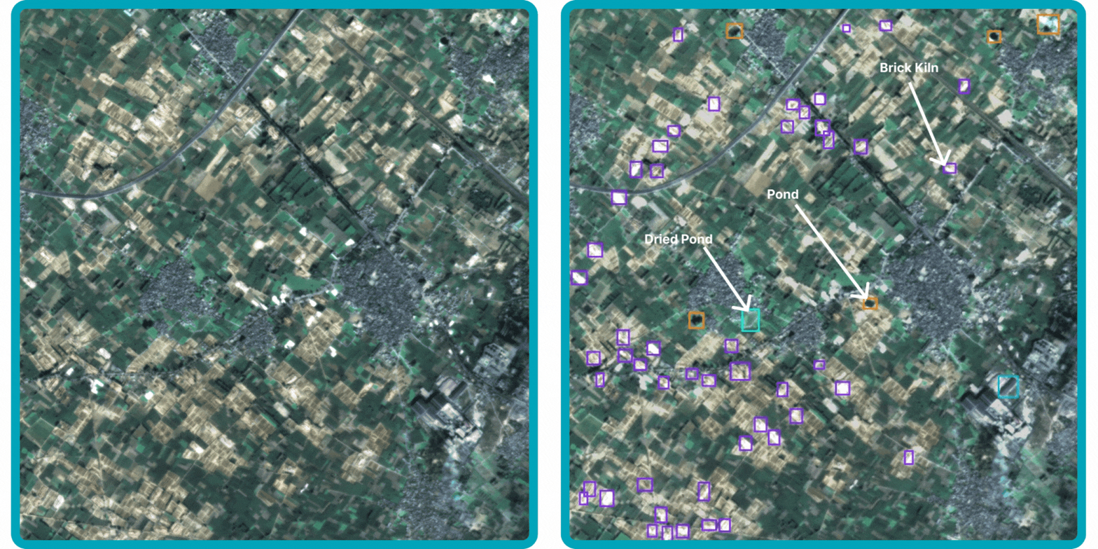
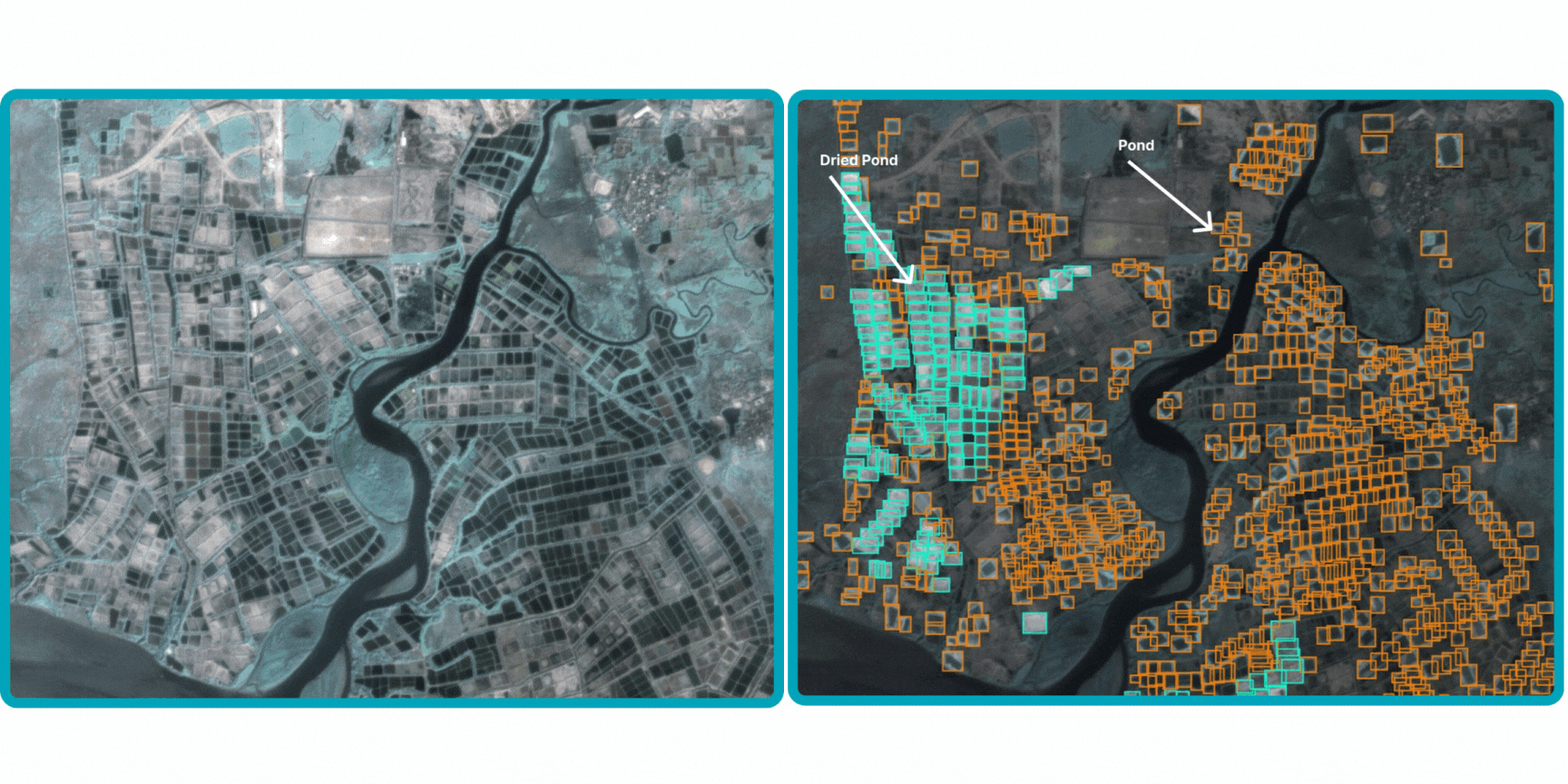
Under the Indian Remote Sensing Satellite (IRS) program, the Linear Imaging Self-Scanning Sensor-IV (LISS-IV) captures imagery at a spatial resolution of 5.8 m with three spectral bands: Green, Red, and Near-Infrared (NIR).
Explore the Power of Satellite Imagery
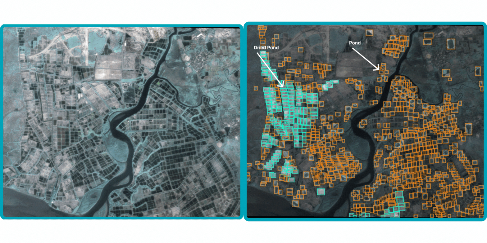
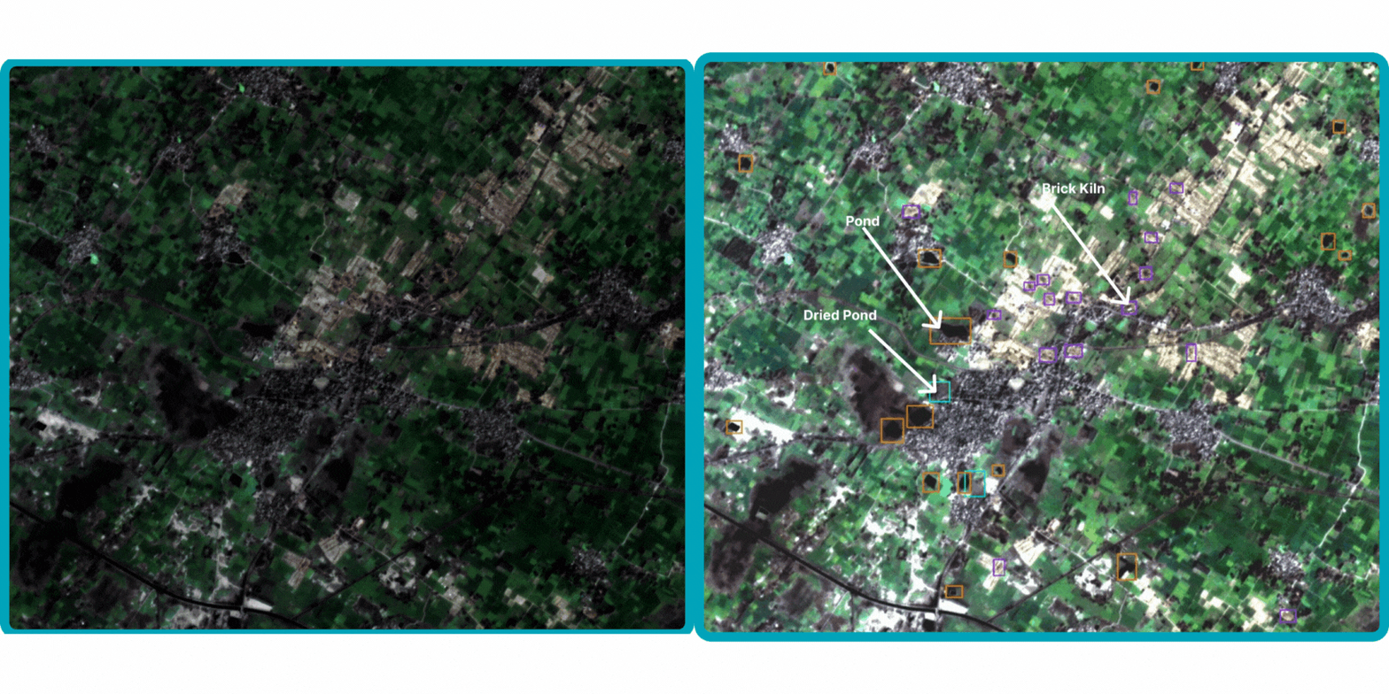
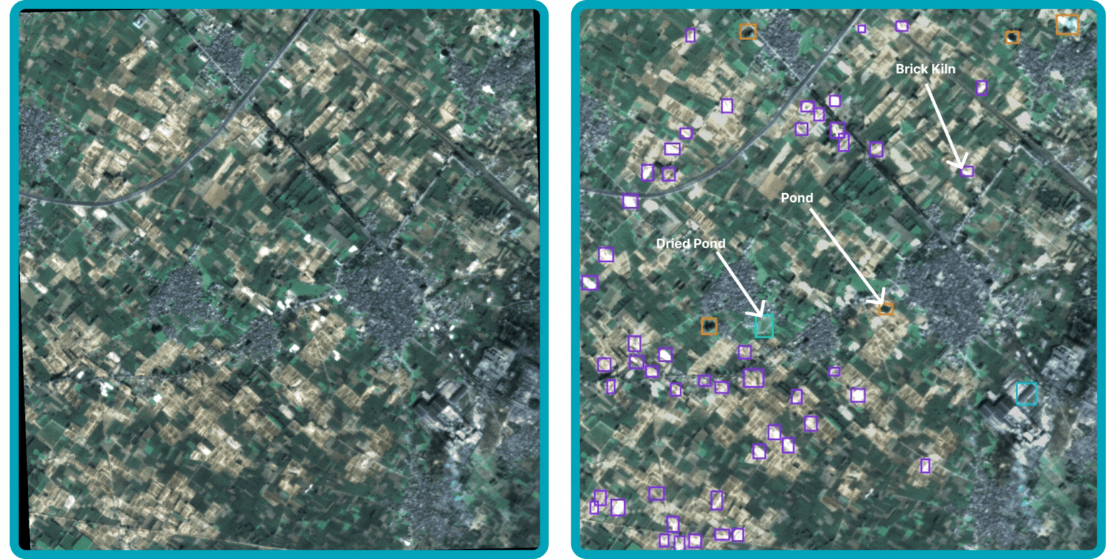
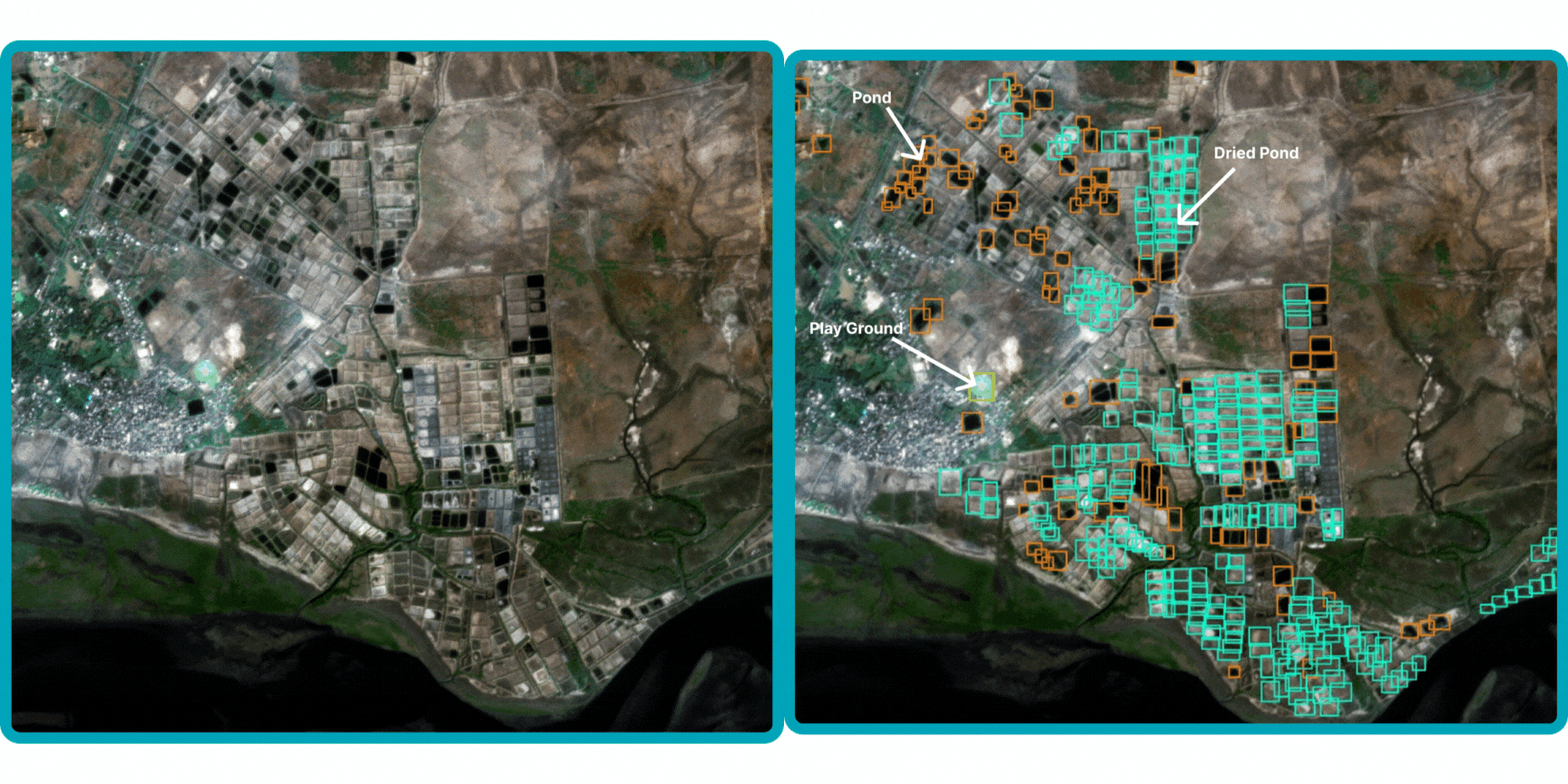
Steps to Follow
Step 1
Select the tab for the satellite you want to explore.
Step 2

Fill out the form to request access to the dataset.
Step 3

Download the dataset from in the zip file format.
LISS-IV
High-resolution (5.8 m) Indian satellite imagery - ideal for detailed mapping
and precise object detection in the Indian context.
Data
Coming Soon!